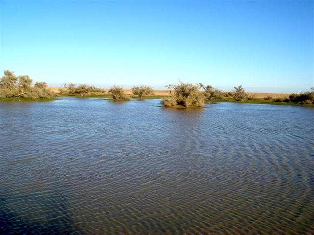
Hafar al-Batin
Hafar al-Batin
The gateway of the Basran Hajj road into the Arabian Peninsula, known for the deep wells people dug in Wadi al-Batin to reach groundwater. Today it is a modern city in the northeastern region near Kuwait.
Plan your visit
Practical information verified separately from the historical record.
Before you go: Check with the operator or a local guide before departure; field access details have not yet been verified.
Why visit?
Enter Arabia through the first major stop for Iraqi pilgrims on the Basran road, where ancient wells made life possible in a waterless wadi.
Hafar al-Batin lies in the north of Saudi Arabia's Eastern Province and was a vital station on the Basran Hajj road from Basra to Mecca. Its name comes from the deep pits dug in Wadi al-Batin to reach underground water, for no perennial streams flow through the area. Classical Islamic geographers listed it among the stations of the Basra-Hijaz route.
It was the first place where pilgrims coming from Basra found rest and resupply after leaving the Iraqi coast. Caravans depended on its wells and on the knowledge of how to draw water from the wadi bed in an environment without running rivers. In modern times the town grew rapidly into an important administrative and military center in the northeast.
Hafar al-Batin is the northeastern land gateway to the peninsula and the opening chapter of the Basran pilgrimage journey. It represents the long bridge between the Gulf region and the heart of Arabia.