al-Hajir
al-Hajir
A Darb Zubaydah manzil between Sumayra and Ma'din al-Nuqra. Water is mentioned in the road-books in general. The pin is an area, not a point; Fayd photographs are not used under this name.
Plan your visit
Practical information verified separately from the historical record.
Before you go: Check with the operator or a local guide before departure; field access details have not yet been verified.
Why visit?
A link in the manazil chain, not a wall borrowed from the next town.
Al-Hajir is a manzil on the Kufa–Makkah road — Darb Zubaydah — between Sumayra and, beyond it, Ma'din al-Nuqra. The manazil sequence is stable: after Sumayra, before al-Nuqra, in the chain Fayd–Tuz–Sumayra–al-Hajir–al-Nuqra. That is a road-list, not a modern visitor itinerary.
The road-books give it water: pools and wells in general. This review found no published survey that assigns a measured cistern wall to al-Hajir without mixing it with Fayd or Sumayra. Photographs of Fayd — an excavated town on the same road — are not used under this name.
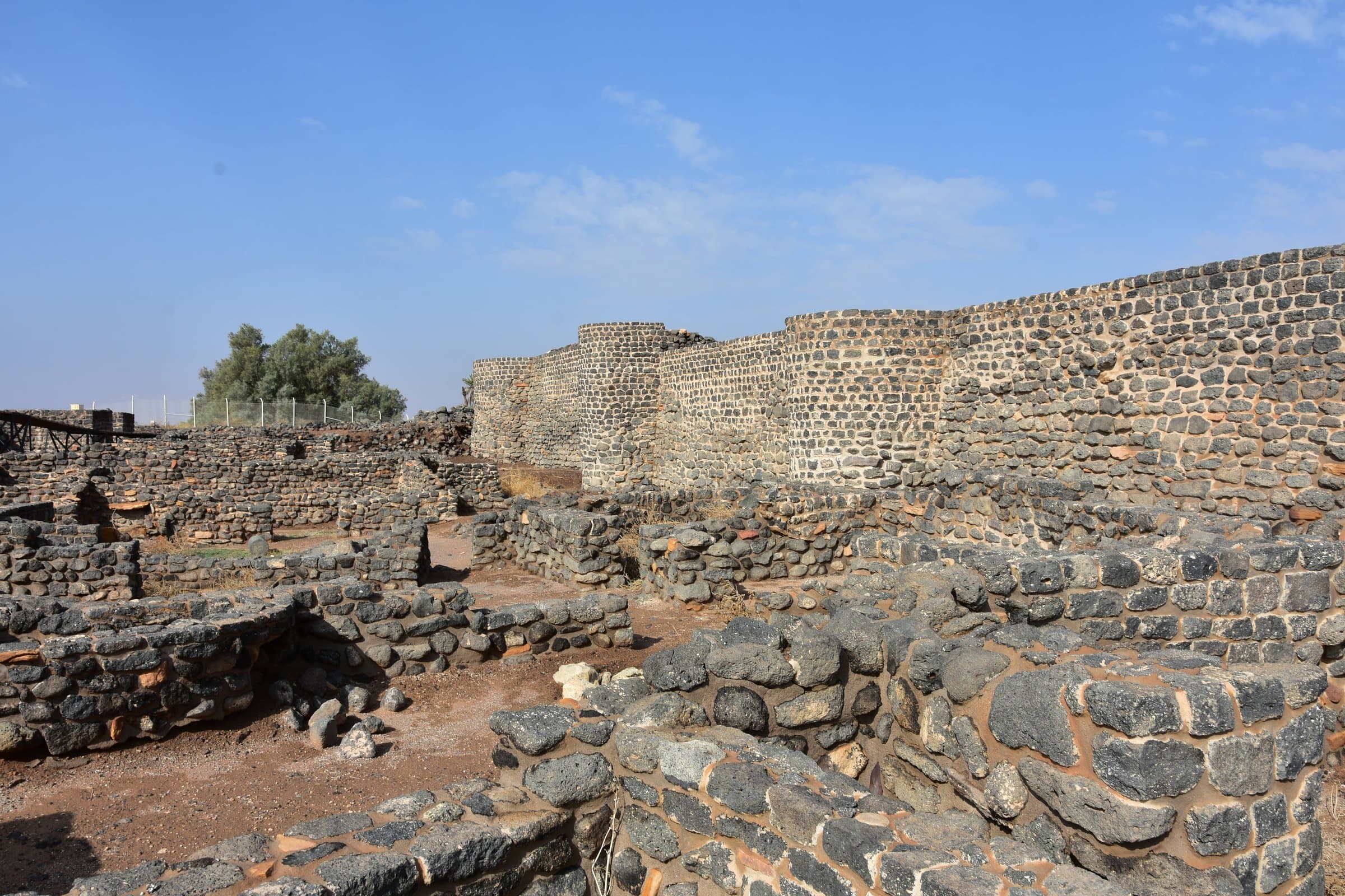
The pin is an area: an approximate stretch of the jadda, not a point. The earlier image is a Najdi-road frame, not al-Hajir’s basin. The card is a link in an Abbasid water-chain, not a lone palace.