al-Shiqq
al-Shiqq
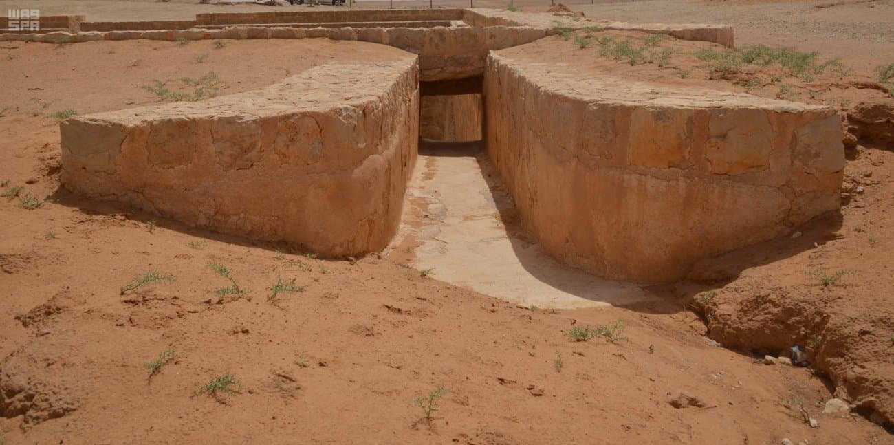
Al-Shuqūq in the road-books, al-Shihiyyat in the field. A Darb Zubaydah manzil where Ibn Jubayr found two cisterns full. The pin is approximate; a 1944 marker is not evidenced in this review.
Plan your visit
Practical information verified separately from the historical record.
Before you go: Check with the operator or a local guide before departure; field access details have not yet been verified.
Why visit?
Restores Shuqūq/Shihiyyat, keeps Ibn Jubayr as a witness, and drops an unsourced marker.
The road-books say al-Shuqūq. The field says al-Shihiyyat. «al-Shiqq» on this card is that manzil, not a coastal Shiqq in the south. The aliases stay, so three sites are not invented.
Ibn Jubayr, a sixth-century witness, halted at al-Shuqūq in a wet year: two cisterns full of sweet water; one a great round sahrij, the water more than two qamas deep. That is an eyewitness of one season, not a survey of every wall. Modern work describes two basins, an Abbasid qasr or fort with two standing walls, and shops read as a suq. A diameter published for al-Radm is not moved here.
Aramco photographed the road in this quarter about 1934–55; that is road archive, not a metre on the sahrij. A «1944 British–Iraqi boundary mark on the tank wall» had no source in this review and is dropped until one appears.
The pin is an approximate stretch of the manzil. Neither Umm al-Asafir nor Zabala is used under this name.