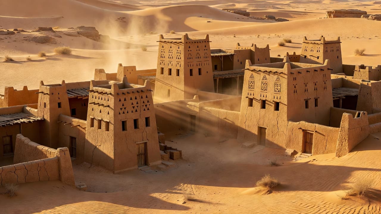
Aflaj Springs
Aflaj Springs
‘Uyun al-Aflaj are historic springs in southern Najd that irrigated farms through qanat-style channels from pre-Islamic into Islamic times.
Plan your visit
Practical information verified separately from the historical record.
Before you go: Check with the operator or a local guide before departure; field access details have not yet been verified.
Why visit?
Explore one of Arabia's most important ancient irrigation systems, trace the underground qanat channels across the Aflaj plains, and visit the historic spring sites to understand how ancestors managed water resources for centuries.
The Aflaj region in southern Najd was historically home to 17 natural springs, among the largest in Arabia, including 'Ayn al-Ra's, 'Ayn Umm Hib, and 'Ayn al-Ruways. These springs fed an elaborate network of underground qanat channels (kaza'im) that irrigated farms for over two millennia — from pre-Islamic times through the Umayyad and Abbasid eras. The surface channels were called suyuh (sing. sayh), giving the area as-Sayh its name. Geographers al-Isfahani and al-Hamdani documented these springs in the 9th–10th centuries CE. Most springs dried up in the 1980s due to groundwater depletion from center-pivot wheat irrigation.