al-Amya
al-Amya
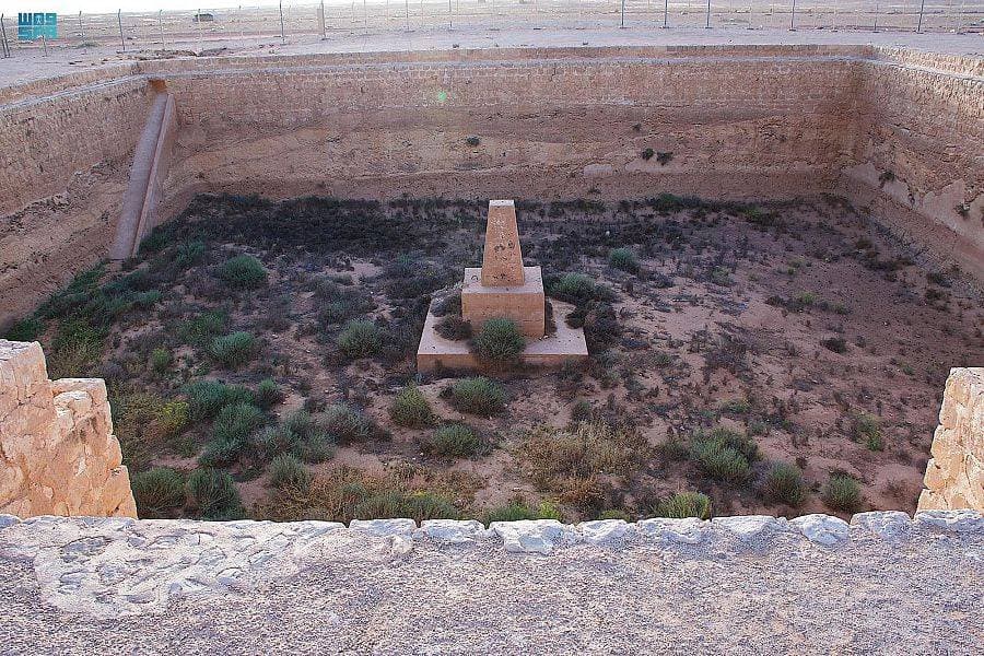
A square cistern on the Kufa Hajj road near the Iraqi border, between al-Aqaba and al-Qa'. Atlal survey: 28.4 m to a side. The name is from how little flood it holds. The pin is approximate.
Plan your visit
Practical information verified separately from the historical record.
Before you go: Check with the operator or a local guide before departure; field access details have not yet been verified.
Why visit?
Fixes a surveyed secondary station, keeps it off Zabala, and leaves al-Jalha as a possibility.
Al-Amya is a water station on the Kufa road (Darb Zubaydah), on bare ground between the manzils of al-Aqaba and al-Qa', a few kilometres جنوب the Saudi–Iraqi line in the field report. It is not Zabala and not al-Qa'.
The Atlal survey (1403 AH) describes a square cistern 28.4 m to a side, with corner and half-round buttresses, a sloped south inlet, and a guide-wall forcing flood toward the basin. Beside it, a square building about 17 m with five rooms, one read as a musalla. Those figures are a published survey, not re-measured here.
The name is explained as a basin that holds so little it seems not to see water. Yaqut’s al-Jalha — a pool and ruined domes between al-Aqaba and al-Qa' — is a possible match, not a settled one. Alois Musil passed in 1915; Muhammad ibn Rashid was still having the cistern cleared. Sand has buried much of the work.
It is not a «symbolic first gate». No other pool’s photograph is used. The pin is approximate for a border station, not for the musalla corner.